
At the heart of the Drome Provencale
between the Vercors National Park and the massif of the Diois,
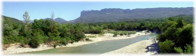
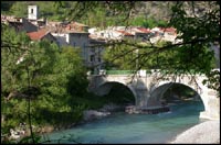
the Drome has cut a path amongst limestone cliffs and picturesque towns and villages:
Die and its Clairette, Crest and its famous tour,
Saillans and its numerous beaches…
All the touristic attractions of the valley can be discovered in
.
E.V.A location is situated half way between Die and Crest: giving the opportunity to explore the entire river.
|
|
|
|
|
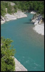
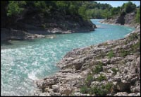
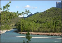
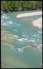
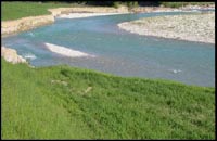
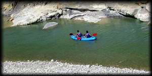
The river Drome is the biggest in the area, which provides a paradise for amateurs in moving water sports stretching for over 60 km ! The beauty of the countryside and the diversity of the rapids will enchant novices and the experienced canoeists alike |
|||
|
|
||
The source of the Drome is in the heart of the Diois and it flows for over one hundred kilometres before joining the Rhone.
Navigable for almost 60% of its length, the Drome descends around 400 metres from the rock fall of the Clap to Crest.
Due to its geographical situation in southern France, the Drome is very quickly heated by the sun (up to 24°C in summer).
|
Class of the rapids:
(relating to the flow) |
Classe II during the summer (June, July, and August) |
| Classe II/III in the spring (April and May) | |
| Classe III/IV in the spring on the tributaries (Bez, Roanne…) |
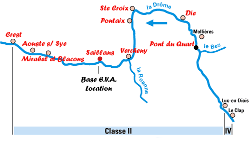
Map of Canoeing and kayaking routes:
 |
 |
|
TYPE
|
DURATION
|
Km
|
Miles
|
ROUTES
|
|
Mini-trip
|
1h30 to 2h
|
6
|
4
|
Vercheny - Saillans
|
|
Half-day
|
3h to 4h
|
16
|
10
|
Saillans - Mirabel ou Crest
|
|
14
|
9
|
Ste Croix ou Pontaix - Saillans
|
||
|
Full day
|
5h to 6h
|
23
|
14
|
Die - Saillans
|
|
28
|
17,5
|
Pontaix - Crest
|
||
|
2 days + bivouac
|
11h
|
50
|
31
|
Pont de Quart - Crest
|

|
|
Home page
|